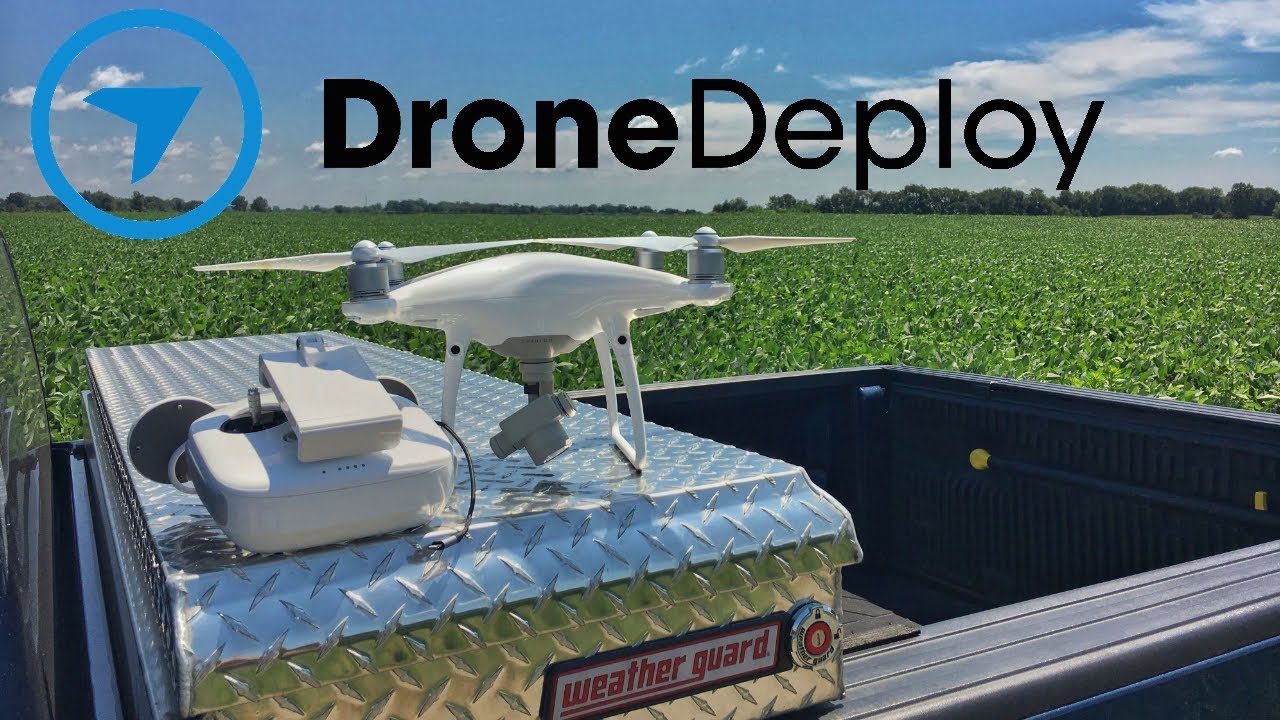
How to use drone deploy – How to use DroneDeploy? It’s easier than you think! This guide takes you from setting up your account to generating stunning 3D models, covering everything from flight planning to data analysis. We’ll demystify the process, offering practical tips and tricks to help you master this powerful drone mapping software and unlock its potential for various applications, from construction site inspections to precision agriculture.
We’ll walk you through each step, from creating your first flight plan to sharing your processed data with colleagues. Get ready to explore the world of aerial data acquisition and analysis with DroneDeploy!
Getting Started with DroneDeploy
DroneDeploy is a cloud-based platform that simplifies the entire drone workflow, from flight planning to data analysis. It offers a user-friendly interface and powerful tools for various applications, making it accessible to both beginners and experienced drone pilots. This section guides you through the initial steps of using DroneDeploy.
Creating a DroneDeploy Account and Setting Up a Profile
Setting up your DroneDeploy account is straightforward. Visit the DroneDeploy website and click “Sign Up.” You’ll need to provide your email address, create a password, and potentially provide some basic company information. Once registered, complete your profile by adding details like your name, company name (if applicable), and contact information. This ensures efficient communication and project organization within the platform.
Organizing Projects and Data in DroneDeploy
Effective project organization is crucial for efficient workflow in DroneDeploy. Create separate projects for each job site or survey. Within each project, use folders to categorize data logically (e.g., by date, flight number, or data type). This approach keeps your data neatly organized, easily searchable, and avoids confusion, especially when working on multiple projects concurrently.
Planning Your Drone Flights with DroneDeploy
DroneDeploy’s flight planning tools enable you to create efficient and accurate flight plans tailored to your specific needs. This minimizes flight time and ensures complete coverage of your area of interest.
Creating a Flight Plan, How to use drone deploy
To create a flight plan, begin by importing your area of interest using a shapefile, KML, or by manually drawing a polygon on the map within DroneDeploy. Specify parameters like altitude, speed, overlap (both front and side), and camera settings. DroneDeploy will automatically generate a flight path optimized for your chosen settings and area. Review the generated path carefully to ensure it avoids obstacles and covers the entire area effectively.
Considering Environmental Factors
Before initiating any flight, carefully assess weather conditions, including wind speed and direction. High winds can significantly impact flight stability and data accuracy. Consult weather forecasts and postpone flights if conditions are unfavorable. Always prioritize safety and data quality.
Sample Flight Plan: Construction Site Inspection
For inspecting a construction site, you might plan a flight at a relatively low altitude (e.g., 50-100 feet) to capture high-resolution imagery of the structures and surrounding area. A higher overlap (e.g., 80% front and 70% side) will ensure seamless stitching during processing. The flight plan should encompass the entire construction site, including access roads and surrounding areas for context.
Executing Drone Flights and Data Capture
Once your flight plan is ready, it’s time to connect your drone and execute the flight. This section details the process and addresses potential challenges.
Connecting Your Drone and Initiating a Flight
DroneDeploy integrates with several drone models. After selecting your drone type within the app, follow the on-screen instructions to connect your drone to your mobile device via WiFi or other designated methods. Once connected, review the flight plan and initiate the automated flight. DroneDeploy will guide your drone through the pre-programmed flight path, capturing images according to the specified parameters.
Potential Challenges and Solutions

During flight operations, you might encounter issues such as low battery, GPS signal loss, or unexpected obstacles. Having a backup battery is essential. For GPS signal issues, ensure you’re flying in an open area with a clear view of the sky. If obstacles are detected, DroneDeploy will usually provide an alert, allowing you to intervene and adjust the flight path or abort the mission if necessary.
Drone Model Compatibility
| Drone Model | Features | Suitable Tasks | DroneDeploy Compatibility |
|---|---|---|---|
| DJI Phantom 4 RTK | High-precision RTK positioning, obstacle avoidance | Precise surveying, mapping | Yes |
| DJI Mavic 3 Enterprise Series | Versatile payloads (RTK, thermal, wide-angle), long flight time | Inspection, surveying, agriculture | Yes |
| Autel EVO II Series | High-resolution camera, obstacle avoidance, long flight time | Mapping, inspection, photography | Yes |
| Parrot Anafi USA | Compact, lightweight, 4K HDR camera | Inspection, aerial photography | Yes |
Processing and Analyzing Drone Data in DroneDeploy
After your drone flight is complete, the captured imagery needs to be processed to generate useful data products. DroneDeploy streamlines this process.
Uploading and Processing Imagery
Upon landing, upload your flight data to DroneDeploy. The platform automatically processes the images, generating various outputs such as orthomosaics, 3D models, and point clouds. Processing time depends on the size of the dataset and the processing options selected. You can monitor the progress within the platform.
Data Processing Options

DroneDeploy offers several processing options to tailor the output to your specific needs. An orthomosaic creates a georeferenced, seamless mosaic of the area. A 3D model generates a three-dimensional representation of the terrain or structures. Point clouds provide highly detailed 3D point data for advanced analysis.
Identifying and Correcting Errors

During processing, errors like misalignment or gaps in the imagery might occur. DroneDeploy typically flags these errors. You can manually correct minor issues using editing tools, or re-fly the affected areas if the errors are significant. Careful flight planning and adherence to best practices can significantly reduce the likelihood of processing errors.
Utilizing DroneDeploy’s Advanced Features
DroneDeploy provides a range of advanced features to enhance data analysis and reporting.
Measurement Tools
DroneDeploy’s measurement tools allow for accurate calculations of distances, areas, and volumes directly on the processed data. This eliminates the need for manual measurements and improves accuracy.
Report Creation and Sharing
Generate professional reports directly within DroneDeploy. Customize reports with annotations, measurements, and other relevant data. Easily share reports with clients or colleagues via email or direct links, facilitating collaboration and communication.
Getting started with drone mapping? Planning your flights and processing data can seem tricky, but it’s easier than you think! Check out this awesome guide on how to use DroneDeploy to learn the basics. From mission planning to creating stunning 3D models, understanding how to use DroneDeploy will seriously level up your drone game.
Data Visualization Options
DroneDeploy offers various data visualization options, including orthomosaics, 3D models, point clouds, and elevation maps. The choice of visualization depends on the specific analysis and the intended audience. For instance, a 3D model might be best for visualizing complex structures, while an orthomosaic is suitable for overall area assessment.
Sharing and Collaborating on Projects
DroneDeploy facilitates seamless collaboration on projects.
Inviting Collaborators and Managing Permissions
Easily invite collaborators to your projects and assign them specific roles (e.g., viewer, editor). This controls access to project data and ensures data security. Clear role assignments streamline workflow and prevent accidental data modification.
Exporting Data
Export processed data in various formats such as PDF, shapefiles, GeoTIFFs, and KMLs. This allows for integration with other software platforms and facilitates data sharing across different applications.
Best Practices for Team Collaboration
- Establish clear communication channels.
- Use consistent naming conventions for files and folders.
- Regularly back up project data.
- Clearly define roles and responsibilities for each team member.
- Utilize DroneDeploy’s commenting and annotation features for feedback and discussions.
Troubleshooting Common Issues
This section addresses common issues encountered while using DroneDeploy.
Common Errors and Solutions
Issues such as image processing failures, upload errors, or connection problems might occur. Check your internet connection for upload issues. For processing failures, review the error messages provided by DroneDeploy and follow the suggested troubleshooting steps. If problems persist, contact DroneDeploy support.
Contacting DroneDeploy Support
DroneDeploy offers various support channels, including email, phone, and online documentation. Consult their website for the most up-to-date contact information and support resources.
Common Error Messages
| Error Message | Cause | Solution |
|---|---|---|
| Image Processing Failed | Insufficient image overlap, poor image quality | Re-fly with better overlap, ensure good lighting conditions |
| Upload Failed | Poor internet connection, large file size | Check internet connection, optimize file size |
| Drone Connection Error | Incorrect settings, interference | Verify settings, restart drone and app |
| GPS Signal Lost | Obstructed GPS signal | Relocate to open area with clear sky view |
Advanced Applications of DroneDeploy: How To Use Drone Deploy
DroneDeploy’s applications extend across various industries.
DroneDeploy in Different Industries
In construction, DroneDeploy aids in site progress monitoring, volume calculations, and safety inspections. In agriculture, it assists in crop monitoring, yield estimation, and irrigation management. Mining utilizes DroneDeploy for site surveying, stockpile volume measurement, and safety assessments.
Integration with Other Platforms
DroneDeploy integrates with various GIS and CAD software, enabling seamless data transfer and analysis. This allows for a comprehensive workflow incorporating drone data into existing workflows.
Getting started with DroneDeploy is easier than you think! First, you’ll want to familiarize yourself with the software’s interface and key features. Then, check out this awesome tutorial on how to use DroneDeploy for a step-by-step guide. Finally, practice flying your drone and processing the data to really master the platform and get amazing results.
3D Model Creation and Applications
DroneDeploy’s 3D modeling capabilities generate detailed representations of structures and terrain. For example, a 3D model of a bridge generated by DroneDeploy would accurately depict its dimensions, structural details, and overall condition. This allows for detailed inspections, damage assessments, and planning for repairs or maintenance. The model could be used by engineers to assess structural integrity, by construction managers to track progress, and by insurance companies to evaluate damage after an event.
Mastering DroneDeploy unlocks a world of possibilities for efficient data collection and analysis. From simple flight planning to advanced 3D modeling, you’ve now got the tools to leverage the power of drones for your projects. Remember to explore the advanced features and continue practicing to fully utilize DroneDeploy’s capabilities. Happy flying!
Essential FAQs
What types of drones are compatible with DroneDeploy?
DroneDeploy supports a wide range of drones, including DJI, Autel, and Parrot. Check their website for the most up-to-date compatibility list.
How much does DroneDeploy cost?
DroneDeploy offers various subscription plans catering to different needs and budgets. Check their pricing page for detailed information.
Can I use DroneDeploy offline?
While some features require an internet connection, you can plan flights and review some data offline with limitations. A strong internet connection is needed for data processing and uploading.
What kind of training is available for DroneDeploy?
DroneDeploy provides extensive online tutorials, documentation, and support resources to help users learn the platform. They also offer training courses for more in-depth learning.
